
Montejaque topographic map
Click on the map to display elevation.
About this map
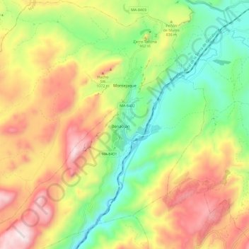
Name: Montejaque topographic map, elevation, terrain.
Location: Montejaque, Serranía de Ronda, Malaga, Andalusia, 29360, Spain (36.67334 -5.33040 36.76528 -5.22718)
Average elevation: 2,628 ft
Minimum elevation: 1,302 ft
Maximum elevation: 4,291 ft
Other topographic maps
Click on a map to view its topography, its elevation and its terrain.