
Toddville topographic map
Click on the map to display elevation.
About this map
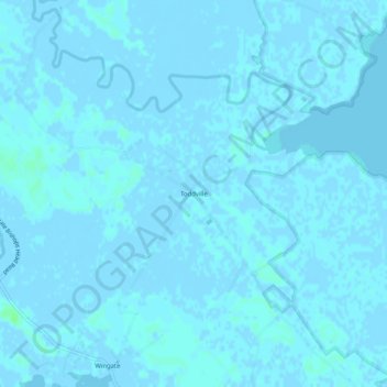
Name: Toddville topographic map, elevation, terrain.
Location: Toddville, Dorchester County, Maryland, 21675, United States (38.27984 -76.09049 38.31984 -76.05049)
Average elevation: 3 ft
Minimum elevation: -13 ft
Maximum elevation: 23 ft
Dorchester County trails, hiking, mountain biking, running and outdoor activities