
Kola topographic map
Interactive map
Click on the map to display elevation.
About this map
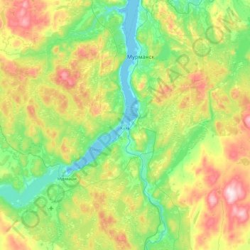
Name: Kola topographic map, elevation, terrain.
Average elevation: 479 ft
Minimum elevation: -7 ft
Maximum elevation: 1,568 ft
Other topographic maps
Click on a map to view its topography, its elevation and its terrain.
Териберка
Russia > Murmansk Oblast > Kolsky District
Териберка, сельское поселение Териберка, Kolsky District, Murmansk Oblast, Northwestern Federal District, Russia
Average elevation: 397 ft