
Thank you for supporting this site ❤️
Make a donation
Make a donation
Gear up for your next adventure:
As an Amazon Associate, this site earns from qualifying purchases at no extra cost to you.
Mazaronquiari topographic map
Click on the map to display elevation.
Thank you for supporting this site ❤️
Make a donation
Make a donation
Gear up for your next adventure:
As an Amazon Associate, this site earns from qualifying purchases at no extra cost to you.
About this map
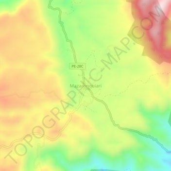
Name: Mazaronquiari topographic map, elevation, terrain.
Location: Mazaronquiari, Pangoa, Satipo, Junín, Perú (-11.66916 -74.38986 -11.62916 -74.34986)
Average elevation: 4,085 ft
Minimum elevation: 3,304 ft
Maximum elevation: 4,833 ft
Thank you for supporting this site ❤️
Make a donation
Make a donation
Gear up for your next adventure:
As an Amazon Associate, this site earns from qualifying purchases at no extra cost to you.