
Thank you for supporting this site ❤️
Make a donation
Make a donation
Gear up for your next adventure:
As an Amazon Associate, this site earns from qualifying purchases at no extra cost to you.
Campo topographic map
Click on the map to display elevation.
Thank you for supporting this site ❤️
Make a donation
Make a donation
Gear up for your next adventure:
As an Amazon Associate, this site earns from qualifying purchases at no extra cost to you.
About this map
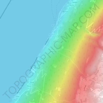
Name: Campo topographic map, elevation, terrain.
Location: Campo, Marniga, Brenzone sul Garda, Verona, Veneto, Italy (45.67707 10.74378 45.71707 10.78378)
Average elevation: 1,253 ft
Minimum elevation: 200 ft
Maximum elevation: 3,957 ft
Thank you for supporting this site ❤️
Make a donation
Make a donation
Gear up for your next adventure:
As an Amazon Associate, this site earns from qualifying purchases at no extra cost to you.