
Rehoboth topographic map
Click on the map to display elevation.
Rehoboth
Rehoboth is a town in central Namibia just north of the Tropic of Capricorn. Located 90 kilometres (55 miles) south of the Namibian capital Windhoek, Rehoboth lies on a high elevation plateau with several natural hot-water springs. It receives sparse mean annual rainfall of 240 millimetres (9.4 in), although in the 2010/2011 rainy season a record 731 millimetres (28.8 in) were measured. In 2005, it had a population of 21,378 later increased to 28,843 in 2011, according to the 2011 Namibian Population and Housing Census.
About this map
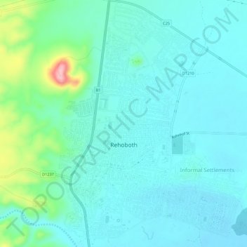
Name: Rehoboth topographic map, elevation, terrain.
Location: Rehoboth, Hardap, Namibia (-23.33538 17.06652 -23.28598 17.10913)
Average elevation: 4,619 ft
Minimum elevation: 4,518 ft
Maximum elevation: 5,082 ft