Geolocate

Passo di Riva topographic map

Click on the map to display elevation.

About this map

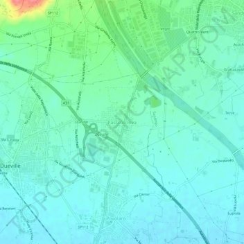
Name: Passo di Riva topographic map, elevation, terrain.

Location: Passo di Riva, Dueville, Vicenza, Veneto, 36031, Italy (45.62266 11.55482 45.66266 11.59482)

Average elevation: 200 ft

Minimum elevation: 148 ft

Maximum elevation: 407 ft

Gear up for your next adventure:

🧣Hiking Neck Gaiter - Multi‑use neck protection for outdoor weather
🧢Outdoor Hiking Hat - Sun protection hat for outdoor explorers
🔭Telescopic Hiking Pole - Adjustable pole for hiking stability
😴Insulated Sleeping Pads - Compact and warm pads for high-elevation camping
🚗GPS Dash Cams - Record your scenic drives through mountain passes and canyons

As an Amazon Associate, this site earns from qualifying purchases at no extra cost to you.