Geolocate

Arkalon topographic map

Click on the map to display elevation.

About this map

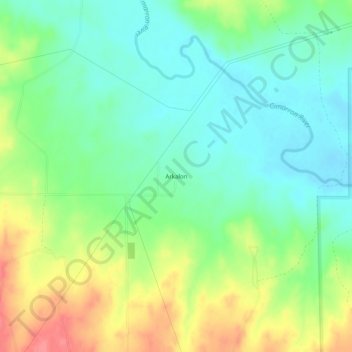
Name: Arkalon topographic map, elevation, terrain.

Location: Arkalon, Seward County, Kansas, United States (37.12308 -100.82738 37.16308 -100.78738)

Average elevation: 2,651 ft

Minimum elevation: 2,566 ft

Maximum elevation: 2,799 ft

Seward County trails, hiking, mountain biking, running and outdoor activities

Other topographic maps

Click on a map to view its topography, its elevation and its terrain.

Liberal

United States > Kansas > Seward County

Average elevation: 2,844 ft

Gear up for your next adventure:

🗃️Trail First Aid Kit - Essential kit for outdoor injuries and emergencies
🦶Hiking Gaiters - Keep debris and water out of your boots
🔦LED Headlamp - Bright and durable LED headlamp for night navigation
🥄Camping Utensil Set - Lightweight utensils for outdoor meals
🪓Survival Multi‑Tool - Versatile tool for camp and trail tasks

As an Amazon Associate, this site earns from qualifying purchases at no extra cost to you.