Geolocate

Daha topographic map

Click on the map to display elevation.

About this map

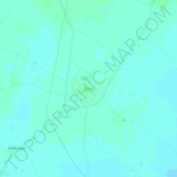
Name: Daha topographic map, elevation, terrain.

Location: Daha, Baraut, Baghpat, Uttar Pradesh, 250622, India (29.18279 77.39029 29.22279 77.43029)

Average elevation: 768 ft

Minimum elevation: 758 ft

Maximum elevation: 778 ft

Gear up for your next adventure:

📡GPS Antenna Upgrade - Enhance GPS reception in remote terrain
🧦Hiking Socks - Comfortable socks to prevent blisters on long hikes
🥤Water Filter Bottle - All‑in‑one filter bottle for safe hydration
👟Men's Trail Runners - Lightweight footwear for fast-paced exploration and light hiking
📌Outdoor GPS Map App - Apps and devices for digital topographic navigation

As an Amazon Associate, this site earns from qualifying purchases at no extra cost to you.