Geolocate

Numba topographic map

Click on the map to display elevation.

About this map

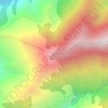
Name: Numba topographic map, elevation, terrain.

Location: Numba, San Pedro de Vilcabamba, Loja, 110061, Ecuador (-4.24769 -79.17915 -4.24759 -79.17905)

Average elevation: 7,470 ft

Minimum elevation: 5,525 ft

Maximum elevation: 8,967 ft

Other topographic maps

Click on a map to view its topography, its elevation and its terrain.

Gear up for your next adventure:

🧭Map Reading Tools - Tools and kits for map navigation
🎒Trekking Poles - Sturdy poles for balance and stability on rough terrain
🗃️Trail First Aid Kit - Essential kit for outdoor injuries and emergencies
😴Insulated Sleeping Pads - Compact and warm pads for high-elevation camping
🌄Hiking Binoculars - Compact binoculars for scenic views and trail spotting

As an Amazon Associate, this site earns from qualifying purchases at no extra cost to you.