Geolocate

Cabañes topographic map

Click on the map to display elevation.

About this map

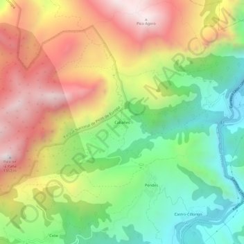
Name: Cabañes topographic map, elevation, terrain.

Location: Cabañes, Cillorigo de Liébana, Cantabria, 39584, Spain (43.19239 -4.63697 43.23239 -4.59697)

Average elevation: 2,336 ft

Minimum elevation: 620 ft

Maximum elevation: 4,396 ft

Gear up for your next adventure:

Backpacking Tent - Lightweight and durable tent for multi‑day hikes
🪑Ultralight Camp Chairs - Portable seating for resting after a long day of mapping
🧭Hiking Compass - Precision compass for reliable navigation in the wilderness
🌄Hiking Binoculars - Compact binoculars for scenic views and trail spotting
📶Satellite Messenger - Communication device off‑grid

As an Amazon Associate, this site earns from qualifying purchases at no extra cost to you.