Lingsar topographic map
Click on the map to display elevation.
About this map
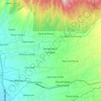
Name: Lingsar topographic map, elevation, terrain.
Location: Lingsar, Lombok Barat, West Nusa Tenggara, 83371, Indonesia (-8.61373 116.13795 -8.53373 116.21795)
Average elevation: 367 ft
Minimum elevation: 72 ft
Maximum elevation: 1,083 ft
Other topographic maps
Click on a map to view its topography, its elevation and its terrain.