Geolocate

Bison topographic map

Click on the map to display elevation.

About this map

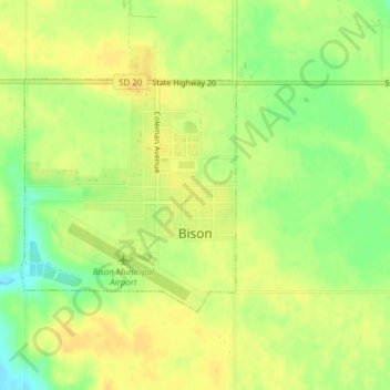
Name: Bison topographic map, elevation, terrain.

Location: Bison, Perkins County, South Dakota, 57620, United States (45.51481 -102.47848 45.53096 -102.45723)

Average elevation: 2,779 ft

Minimum elevation: 2,720 ft

Maximum elevation: 2,812 ft

Perkins County trails, hiking, mountain biking, running and outdoor activities

Gear up for your next adventure:

🌎3D Topographic Globes - Raised relief globes for a tactile understanding of geography
🔥Fast-Boil Camping Stoves - Efficient cooking systems for quick trail meals
🥾Hiking Shoes - Durable and comfortable shoes for trail hiking
🛠️Outdoor Gear Repair Kit - Essential tools to fix gear on the trail
🥾Men's Hiking Boots - Durable, waterproof footwear for rugged terrain and steep inclines

As an Amazon Associate, this site earns from qualifying purchases at no extra cost to you.