Geolocate

Advance topographic map

Click on the map to display elevation.

About this map

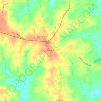
Name: Advance topographic map, elevation, terrain.

Location: Advance, Davie County, North Carolina, 27006, United States (35.92129 -80.42965 35.96129 -80.38965)

Average elevation: 771 ft

Minimum elevation: 689 ft

Maximum elevation: 840 ft

Davie County trails, hiking, mountain biking, running and outdoor activities

Other topographic maps

Click on a map to view its topography, its elevation and its terrain.

Mocksville

United States > North Carolina > Davie County

Average elevation: 771 ft

Mocksville

United States > North Carolina > Davie County

Average elevation: 771 ft

Gear up for your next adventure:

🔭Stargazing Telescopes - Perfect for camping in low-light pollution areas shown on maps
🛶Inflatable Kayak - Portable kayak for rivers, lakes, and expeditions
🧯Portable Fire Pit - Compact fire pit for camping spots
🪑Ultralight Camp Chairs - Portable seating for resting after a long day of mapping
🧭Hiking Compass - Precision compass for reliable navigation in the wilderness

As an Amazon Associate, this site earns from qualifying purchases at no extra cost to you.