
Lillie topographic map
Click on the map to display elevation.
About this map
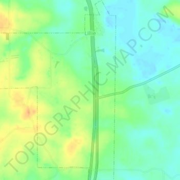
Name: Lillie topographic map, elevation, terrain.
Location: Lillie, Union Parish, Louisiana, United States (32.90671 -92.67608 32.93774 -92.65154)
Average elevation: 131 ft
Minimum elevation: 82 ft
Maximum elevation: 200 ft
Other topographic maps
Click on a map to view its topography, its elevation and its terrain.