
Thank you for supporting this site ❤️
Make a donation
Make a donation
Gear up for your next adventure:
As an Amazon Associate, this site earns from qualifying purchases at no extra cost to you.
Tzalaron topographic map
Click on the map to display elevation.
Thank you for supporting this site ❤️
Make a donation
Make a donation
Gear up for your next adventure:
As an Amazon Associate, this site earns from qualifying purchases at no extra cost to you.
About this map
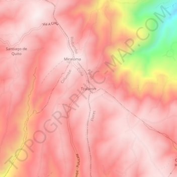
Name: Tzalaron topographic map, elevation, terrain.
Location: Tzalaron, Columbe, Colta, Chimborazo, Ecuador (-1.81083 -78.70939 -1.77083 -78.66939)
Average elevation: 11,309 ft
Minimum elevation: 9,600 ft
Maximum elevation: 11,814 ft
Thank you for supporting this site ❤️
Make a donation
Make a donation
Gear up for your next adventure:
As an Amazon Associate, this site earns from qualifying purchases at no extra cost to you.