Geolocate

Odland topographic map

Click on the map to display elevation.

About this map

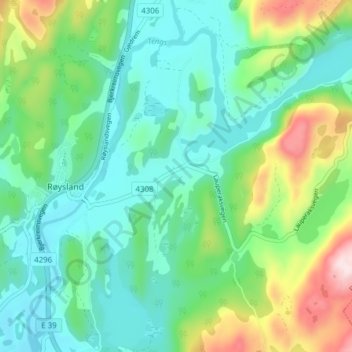
Name: Odland topographic map, elevation, terrain.

Location: Odland, Røysland, Bjerkreim, Rogaland, 4387, Norway (58.56601 6.07380 58.60601 6.11380)

Average elevation: 436 ft

Minimum elevation: 128 ft

Maximum elevation: 1,273 ft

Gear up for your next adventure:

🔋Rechargeable Batteries - Power up your outdoor devices
📚Navigation Handbooks - Master the art of reading topographic maps and using a compass
🧭Hiking Compass - Precision compass for reliable navigation in the wilderness
☀️Outdoor Sunscreen - High protection sunscreen for outdoor activities
🥘Titanium Cookware - Durable, featherlight pots and pans for backpacking

As an Amazon Associate, this site earns from qualifying purchases at no extra cost to you.