Geolocate

Undrai topographic map

Click on the map to display elevation.

About this map

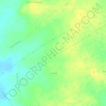
Name: Undrai topographic map, elevation, terrain.

Location: Undrai, Berasia Tahsil, Bhopal District, Madhya Pradesh, India (23.54145 77.30476 23.56871 77.32902)

Average elevation: 1,631 ft

Minimum elevation: 1,585 ft

Maximum elevation: 1,667 ft

Gear up for your next adventure:

🪶Camping Sleeping Pad - Comfortable sleeping pad for backpacking
🪑Portable Camp Table - Compact table for campsite meals
🖼️Topo Map Wall Art - Decorative topographic prints of famous peaks and regions
🚑Emergency Bivvies - Heat-reflective sleeping bags for survival situations
📡Handheld GPS Device - Reliable handheld GPS for outdoor navigation

As an Amazon Associate, this site earns from qualifying purchases at no extra cost to you.