
Thank you for supporting this site ❤️
Make a donation
Make a donation
Gear up for your next adventure:
As an Amazon Associate, this site earns from qualifying purchases at no extra cost to you.
Guayllabamba topographic map
Click on the map to display elevation.
Thank you for supporting this site ❤️
Make a donation
Make a donation
Gear up for your next adventure:
As an Amazon Associate, this site earns from qualifying purchases at no extra cost to you.
About this map
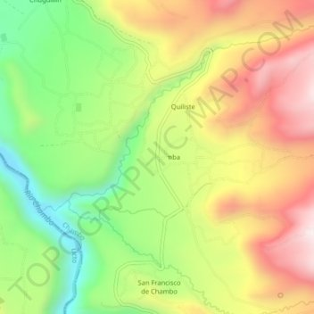
Name: Guayllabamba topographic map, elevation, terrain.
Location: Guayllabamba, Chambo, Chimborazo, 060116, Ecuador (-1.79051 -78.59552 -1.75051 -78.55552)
Average elevation: 9,823 ft
Minimum elevation: 8,655 ft
Maximum elevation: 11,073 ft
Thank you for supporting this site ❤️
Make a donation
Make a donation
Gear up for your next adventure:
As an Amazon Associate, this site earns from qualifying purchases at no extra cost to you.