Geolocate

Palemig topographic map

Click on the map to display elevation.

About this map

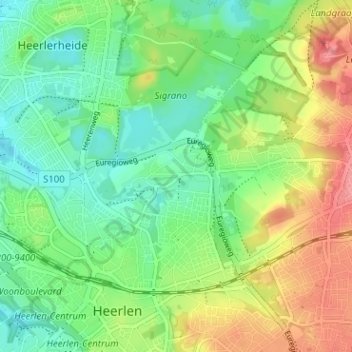
Name: Palemig topographic map, elevation, terrain.

Location: Palemig, Heerlen, Limburg, Netherlands, 6415 RX, Netherlands (50.88299 5.96792 50.92299 6.00792)

Average elevation: 377 ft

Minimum elevation: 276 ft

Maximum elevation: 538 ft

Gear up for your next adventure:

🎒Waterproof Dry Bags - Keep your electronics and maps dry inside your pack
🛠️Backpacking Tool Kit - Essential toolkit for outdoor repairs
🥄Camping Utensil Set - Lightweight utensils for outdoor meals
🪑Portable Camp Table - Compact table for campsite meals
🧤Hiking Gloves - Protective gloves for rugged trails

As an Amazon Associate, this site earns from qualifying purchases at no extra cost to you.