Geolocate

Banku topographic map

Click on the map to display elevation.

About this map

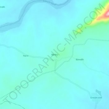
Name: Banku topographic map, elevation, terrain.

Location: Banku, Sonahatu, Ranchi, Jharkhand, India (23.15974 85.74882 23.19974 85.78882)

Average elevation: 820 ft

Minimum elevation: 741 ft

Maximum elevation: 1,450 ft

Gear up for your next adventure:

🏫Relief Map Kits - Hands-on tools for teaching landforms and elevation
👟Men's Trail Runners - Lightweight footwear for fast-paced exploration and light hiking
🪑Ultralight Camp Chairs - Portable seating for resting after a long day of mapping
🕶️GPS Smartphone Mount - Secure mount for phone navigation
🦟Ultrasonic Repellers - Create a bug-free zone at your camp or rest stop

As an Amazon Associate, this site earns from qualifying purchases at no extra cost to you.