Geolocate

Lookout topographic map

Click on the map to display elevation.

About this map

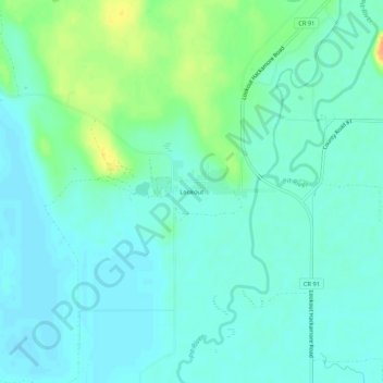
Name: Lookout topographic map, elevation, terrain.

Location: Lookout, Modoc County, California, 96054, United States (41.18794 -121.17525 41.22794 -121.13525)

Average elevation: 4,154 ft

Minimum elevation: 4,124 ft

Maximum elevation: 4,242 ft

Modoc County trails, hiking, mountain biking, running and outdoor activities

Other topographic maps

Click on a map to view its topography, its elevation and its terrain.

Homestead Flat

United States > California > Modoc County

Average elevation: 7,425 ft

Gear up for your next adventure:

🌐World Map Poster - Decorative world maps with topographic info
🏫Relief Map Kits - Hands-on tools for teaching landforms and elevation
🏕️Family Camping Gear - Essentials for group camping trips
🥇GPS Hiking Watch - Multi‑sport GPS watch with navigation and trail tracking
🪑Portable Camp Table - Compact table for campsite meals

As an Amazon Associate, this site earns from qualifying purchases at no extra cost to you.