
Thank you for supporting this site ❤️
Make a donation
Make a donation
Gear up for your next adventure:
As an Amazon Associate, this site earns from qualifying purchases at no extra cost to you.
Tamlouka topographic map
Click on the map to display elevation.
Thank you for supporting this site ❤️
Make a donation
Make a donation
Gear up for your next adventure:
As an Amazon Associate, this site earns from qualifying purchases at no extra cost to you.
About this map
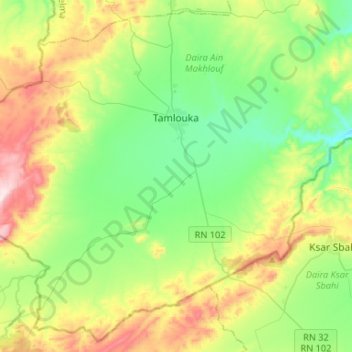
Name: Tamlouka topographic map, elevation, terrain.
Location: Tamlouka, Ain Makhlouf District, Guelma, Algeria (36.02441 6.98803 36.22389 7.25072)
Average elevation: 2,756 ft
Minimum elevation: 2,208 ft
Maximum elevation: 3,875 ft
Thank you for supporting this site ❤️
Make a donation
Make a donation
Gear up for your next adventure:
As an Amazon Associate, this site earns from qualifying purchases at no extra cost to you.