Geolocate

Bentiu topographic map

Click on the map to display elevation.

About this map

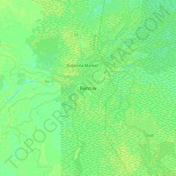
Name: Bentiu topographic map, elevation, terrain.

Location: Bentiu, Rubkona, Unity, South Sudan (9.08809 29.64040 9.40809 29.96040)

Average elevation: 1,286 ft

Minimum elevation: 1,270 ft

Maximum elevation: 1,309 ft

Gear up for your next adventure:

🏕️Tent Footprint - Protect your tent base from wear
🎁Geography Themed Gifts - Unique gift ideas for map lovers and geography enthusiasts
🪶Trail Camera - Capture wildlife on your hikes
🚗GPS Dash Cams - Record your scenic drives through mountain passes and canyons
👓Polarized Sunglasses - Outdoor sunglasses for glare reduction

As an Amazon Associate, this site earns from qualifying purchases at no extra cost to you.