Geolocate

Ayon topographic map

Click on the map to display elevation.

About this map

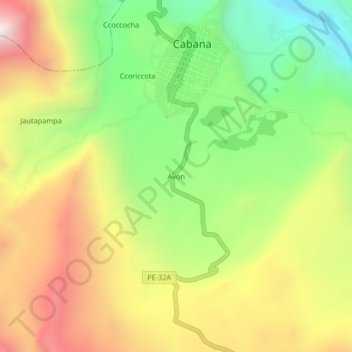
Name: Ayon topographic map, elevation, terrain.

Location: Ayon, Cabana, Lucanas, Ayacucho, Perú (-14.32362 -73.98901 -14.28362 -73.94901)

Average elevation: 11,296 ft

Minimum elevation: 9,636 ft

Maximum elevation: 13,199 ft

Gear up for your next adventure:

🧭Pro Hiking Compasses - High-accuracy liquid-filled compasses for topographic orientation
📡GPS Antenna Upgrade - Enhance GPS reception in remote terrain
🪶Compact Camp Shovel - Folding shovel for campsite tasks
🧤Tactile Hiking Gloves - Keep hands warm while operating GPS and smartphone screens
🏥Hiking First Aid Kits - Comprehensive medical kits for remote trail injuries

As an Amazon Associate, this site earns from qualifying purchases at no extra cost to you.