
Hanksville topographic map
Click on the map to display elevation.
About this map
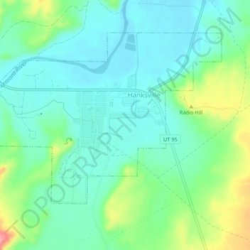
Name: Hanksville topographic map, elevation, terrain.
Location: Hanksville, Wayne County, Utah, 84734, United States (38.35985 -110.73093 38.38176 -110.69372)
Average elevation: 4,364 ft
Minimum elevation: 4,272 ft
Maximum elevation: 4,537 ft
Wayne County trails, hiking, mountain biking, running and outdoor activities
Other topographic maps
Click on a map to view its topography, its elevation and its terrain.