
Neuhemsbach topographic map
Interactive map
Click on the map to display elevation.
Neuhemsbach
Aus dem 14. Jahrhundert stammt der auf der Höhe „Spitzer Hübel“ gelegene Rest der Anselburg.
About this map
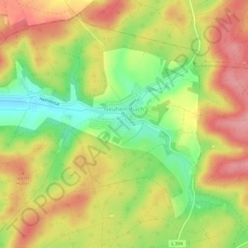
Name: Neuhemsbach topographic map, elevation, terrain.
Average elevation: 1,063 ft
Minimum elevation: 853 ft
Maximum elevation: 1,237 ft