Geolocate

Salcott topographic map

Click on the map to display elevation.

About this map

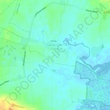
Name: Salcott topographic map, elevation, terrain.

Location: Salcott, Colchester, Essex, England, United Kingdom (51.77882 0.80390 51.79194 0.84671)

Average elevation: 26 ft

Minimum elevation: -7 ft

Maximum elevation: 98 ft

Other topographic maps

Click on a map to view its topography, its elevation and its terrain.

Salcott

United Kingdom > England > Essex > Colchester > Salcott

Average elevation: 46 ft

Gear up for your next adventure:

🧴Hand Sanitizer - Keep hands clean while hiking
🪶Wildlife Field Guides - Learn animal tracking and species ID
🚗GPS Dash Cams - Record your scenic drives through mountain passes and canyons
👖Convertible Hiking Pants - Versatile zip-off pants for changing altitudes and temperatures
📱Heavy-Duty Phone Cases - Drop-proof and waterproof protection for outdoor navigation

As an Amazon Associate, this site earns from qualifying purchases at no extra cost to you.