Geolocate

Dalig topographic map

Click on the map to display elevation.

👉 Easily get elevation data in JSON, GeoTIFF and KML formats using Elevation API
Thank you for supporting this site ❤️
Make a donation

About this map

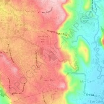
Name: Dalig topographic map, elevation, terrain.

Location: Dalig, Rizal, Calabarzon, 1879, Philippines (14.55536 121.17329 14.59536 121.21329)

Average elevation: 551 ft

Minimum elevation: 148 ft

Maximum elevation: 863 ft

Gear up for your next adventure:

🏫Relief Map Kits - Hands-on tools for teaching landforms and elevation
🗺️NatGeo Topo Maps - High-quality waterproof printed topographic maps of US Parks
🧥Waterproof Jacket for Hiking - Breathable and rugged rain jacket for outdoor excursions
🥩Freeze-Dried Meals - Nutritious and lightweight food for remote expeditions
💧Water Filtration Bottles - Safely drink from streams and lakes while exploring

As an Amazon Associate, this site earns from qualifying purchases at no extra cost to you.