Geolocate

Hardee topographic map

Click on the map to display elevation.

About this map

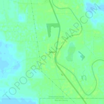
Name: Hardee topographic map, elevation, terrain.

Location: Hardee, Issaquena County, Mississippi, 39177, United States (32.57319 -90.87510 32.61319 -90.83510)

Average elevation: 92 ft

Minimum elevation: 72 ft

Maximum elevation: 105 ft

Other topographic maps

Click on a map to view its topography, its elevation and its terrain.

Gear up for your next adventure:

🧣Hiking Neck Gaiter - Multi‑use neck protection for outdoor weather
🚁Photography Drones - Capture stunning aerial views of landforms and topography
🗺️NatGeo Topo Maps - High-quality waterproof printed topographic maps of US Parks
📶Satellite Messenger - Communication device off‑grid
Camping Coffee Makers - Enjoy premium coffee at the summit or campsite

As an Amazon Associate, this site earns from qualifying purchases at no extra cost to you.