
Gunung Leuser topographic map
Click on the map to display elevation.
About this map
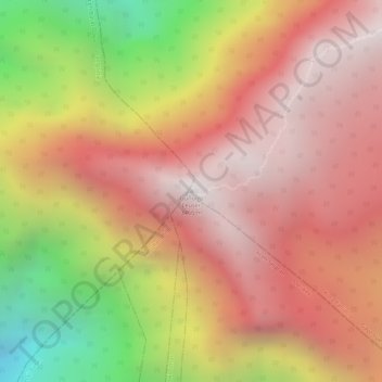
Name: Gunung Leuser topographic map, elevation, terrain.
Location: Gunung Leuser, Kuta Panjang, Gayo Lues, Aceh, Sumatra, Indonesia (3.74140 97.15508 3.74150 97.15518)
Average elevation: 8,399 ft
Minimum elevation: 5,269 ft
Maximum elevation: 10,157 ft
Other topographic maps
Click on a map to view its topography, its elevation and its terrain.
Blangkejeren
Blangkejeren is located in the upper reaches of the Tripa River Basin, at an elevation of approximately 920 metres above sea level. It is a highland town nestled in the Bukit Barisan mountain range of Sumatra.
Average elevation: 4,603 ft