
Thank you for supporting this site ❤️
Make a donation
Make a donation
Gear up for your next adventure:
As an Amazon Associate, this site earns from qualifying purchases at no extra cost to you.
talala topographic map
Click on the map to display elevation.
Thank you for supporting this site ❤️
Make a donation
Make a donation
Gear up for your next adventure:
As an Amazon Associate, this site earns from qualifying purchases at no extra cost to you.
About this map
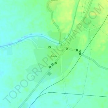
Name: talala topographic map, elevation, terrain.
Location: talala, Talala Taluka, Gir Somnath District, Gujarat, India (21.04924 70.52265 21.06402 70.53916)
Average elevation: 299 ft
Minimum elevation: 269 ft
Maximum elevation: 328 ft
Thank you for supporting this site ❤️
Make a donation
Make a donation
Gear up for your next adventure:
As an Amazon Associate, this site earns from qualifying purchases at no extra cost to you.