Geolocate

Corazon topographic map

Click on the map to display elevation.

About this map

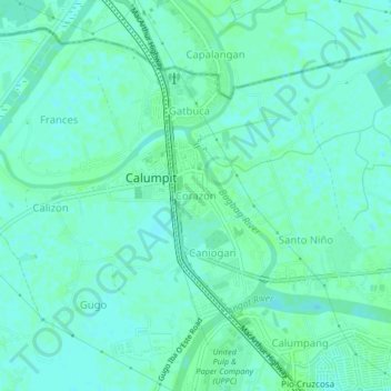
Name: Corazon topographic map, elevation, terrain.

Location: Corazon, Calumpit, Bulacan, Central Luzon, 3003, Philippines (14.89332 120.74840 14.93332 120.78840)

Average elevation: 16 ft

Minimum elevation: 3 ft

Maximum elevation: 23 ft

Other topographic maps

Click on a map to view its topography, its elevation and its terrain.

La Residencia

Philippines > Bulacan > Calumpit > Sergio Bayan

Average elevation: 16 ft

Gear up for your next adventure:

🥤Water Filter Bottle - All‑in‑one filter bottle for safe hydration
🪶Paracord Bracelet - Survival bracelet with built‑in tools
🌐World Map Poster - Decorative world maps with topographic info
☀️Outdoor Sunscreen - High protection sunscreen for outdoor activities
🛶Inflatable Kayak - Portable kayak for rivers, lakes, and expeditions

As an Amazon Associate, this site earns from qualifying purchases at no extra cost to you.