
Make a donation
Gear up for your next adventure:
As an Amazon Associate, this site earns from qualifying purchases at no extra cost to you.
San Pedro topographic map
Click on the map to display elevation.
Make a donation
Gear up for your next adventure:
As an Amazon Associate, this site earns from qualifying purchases at no extra cost to you.
About this map
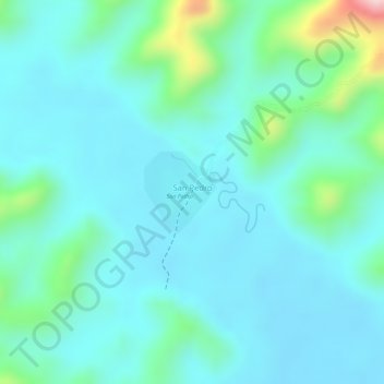
Name: San Pedro topographic map, elevation, terrain.
Average elevation: 4,455 ft
Minimum elevation: 4,281 ft
Maximum elevation: 5,180 ft
Make a donation
Gear up for your next adventure:
As an Amazon Associate, this site earns from qualifying purchases at no extra cost to you.
Other topographic maps
Click on a map to view its topography, its elevation and its terrain.
Área Natural de Manejo Integrado Madidi
Bolivia > La Paz > Provincia Franz Tamayo > Municipio Apolo
Debido al amplio rango altitudinal (200 a 6000 m s. n. m.), el Madidi presenta varios pisos altitudinales, asociados con una amplia variedad de ecosistemas. Encontramos zonas nivales y ambientes periglaciares, Páramo Yungueño, Bosque Nublado de Ceja, Bosque Húmedo a Perhúmedo de Yungas, Bosque Pluvial…
Average elevation: 3,035 ft