
Thank you for supporting this site ❤️
Make a donation
Make a donation
Gear up for your next adventure:
As an Amazon Associate, this site earns from qualifying purchases at no extra cost to you.
Taora topographic map
Click on the map to display elevation.
Thank you for supporting this site ❤️
Make a donation
Make a donation
Gear up for your next adventure:
As an Amazon Associate, this site earns from qualifying purchases at no extra cost to you.
About this map
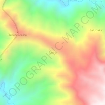
Name: Taora topographic map, elevation, terrain.
Location: Taora, Mamasa, West Sulawesi, Sulawesi, Indonesia (-2.80537 119.27197 -2.76537 119.31197)
Average elevation: 5,338 ft
Minimum elevation: 3,402 ft
Maximum elevation: 7,454 ft
Thank you for supporting this site ❤️
Make a donation
Make a donation
Gear up for your next adventure:
As an Amazon Associate, this site earns from qualifying purchases at no extra cost to you.