
Altamira topographic map
Click on the map to display elevation.
Altamira
Altamira is a small pueblo in the department Huila, with a population around 2,416. Its geographical coordinates are 2° 3' 46" North, 75° 47' 14" West. It is about an 8-hour bus trip south of Bogota. The largest city in Huila and its capital is Neiva, which is 89 miles north, with a population of about 370,000. The highway is two lane and paved. It is located in the Eastern Range of the Andes Mountains at about 3,540 feet elevation. The Central Range of the Andes converges in this part of the country so the mountains of that range can be seen just north of the town. On a very clear day when there are no high altitude clouds obscuring the view, the volcano Nevado de Huila can be seen to the north. At 5365 m (17601 ft) tall, it is the highest volcano in the country and is permanently snow covered with a glacier and it stands out well on a clear day even though it is about 50 miles north of Altamira.
About this map
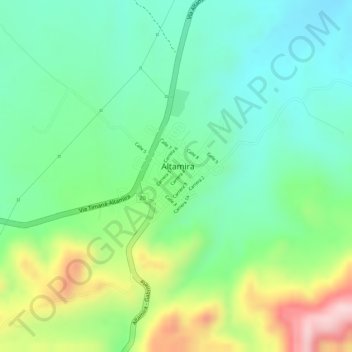
Name: Altamira topographic map, elevation, terrain.
Location: Altamira, Centro, Huila, Colombia (2.05883 -75.79351 2.06843 -75.78318)
Average elevation: 3,386 ft
Minimum elevation: 3,071 ft
Maximum elevation: 3,967 ft