
Altamont topographic map
Click on the map to display elevation.
About this map
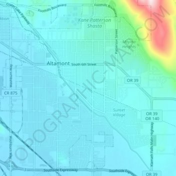
Name: Altamont topographic map, elevation, terrain.
Location: Altamont, Klamath County, Oregon, 97603, United States (42.17328 -121.75714 42.22499 -121.68340)
Average elevation: 4,216 ft
Minimum elevation: 4,078 ft
Maximum elevation: 5,400 ft
Klamath County trails, hiking, mountain biking, running and outdoor activities