Geolocate

Bilton topographic map

Click on the map to display elevation.

About this map

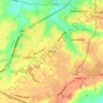
Name: Bilton topographic map, elevation, terrain.

Location: Bilton, Rugby, Warwickshire, England, CV22 7NL, United Kingdom (52.33735 -1.31283 52.37735 -1.27283)

Average elevation: 364 ft

Minimum elevation: 269 ft

Maximum elevation: 427 ft

Gear up for your next adventure:

😴Insulated Sleeping Pads - Compact and warm pads for high-elevation camping
🔌USB Car Charger - Car charger for on‑the‑go power needs
🔋Solar Power Banks - Keep your GPS and phone charged in remote wilderness areas
🛡️Bear Spray Outdoor - Protection in bear country hikes
🚑Emergency Bivvies - Heat-reflective sleeping bags for survival situations

As an Amazon Associate, this site earns from qualifying purchases at no extra cost to you.