
Thank you for supporting this site ❤️
Make a donation
Make a donation
Gear up for your next adventure:
As an Amazon Associate, this site earns from qualifying purchases at no extra cost to you.
Lussello topographic map
Click on the map to display elevation.
Thank you for supporting this site ❤️
Make a donation
Make a donation
Gear up for your next adventure:
As an Amazon Associate, this site earns from qualifying purchases at no extra cost to you.
About this map
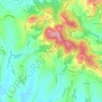
Name: Lussello topographic map, elevation, terrain.
Location: Lussello, Villadeati, Alessandria, Piemonte, 15021, Italia (45.04082 8.15845 45.08082 8.19845)
Average elevation: 883 ft
Minimum elevation: 564 ft
Maximum elevation: 1,499 ft
Thank you for supporting this site ❤️
Make a donation
Make a donation
Gear up for your next adventure:
As an Amazon Associate, this site earns from qualifying purchases at no extra cost to you.