Geolocate

Bridgefoot topographic map

Click on the map to display elevation.

About this map

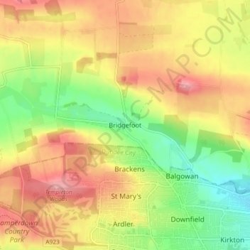
Name: Bridgefoot topographic map, elevation, terrain.

Location: Bridgefoot, Angus, Scotland, DD3 0TA, United Kingdom (56.48529 -3.03408 56.52529 -2.99408)

Average elevation: 410 ft

Minimum elevation: 220 ft

Maximum elevation: 581 ft

Gear up for your next adventure:

Backpacking Tents - Weight-optimized shelters for multi-day topographic surveys
🌲Outdoor Survival Books - Best books on survival skills
Backpacking Tent - Lightweight and durable tent for multi‑day hikes
👓Polarized Sunglasses - Outdoor sunglasses for glare reduction
🦶Hiking Gaiters - Keep debris and water out of your boots

As an Amazon Associate, this site earns from qualifying purchases at no extra cost to you.