Geolocate

Revillo topographic map

Click on the map to display elevation.

About this map

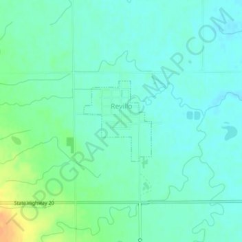
Name: Revillo topographic map, elevation, terrain.

Location: Revillo, Grant County, South Dakota, United States (45.01046 -96.57718 45.01945 -96.56644)

Average elevation: 1,211 ft

Minimum elevation: 1,181 ft

Maximum elevation: 1,289 ft

Grant County trails, hiking, mountain biking, running and outdoor activities

Gear up for your next adventure:

🏕️Tent Footprint - Protect your tent base from wear
🪑Portable Camp Table - Compact table for campsite meals
🧭GPS Watch Accessories - Bands and chargers for GPS watches
🏔️Mountain Trail Maps - High‑detail maps for popular peaks
🪶LED Camping Lantern - Bright lantern for camp lighting

As an Amazon Associate, this site earns from qualifying purchases at no extra cost to you.