
Thank you for supporting this site ❤️
Make a donation
Make a donation
Gear up for your next adventure:
As an Amazon Associate, this site earns from qualifying purchases at no extra cost to you.
Pipalda topographic map
Click on the map to display elevation.
Thank you for supporting this site ❤️
Make a donation
Make a donation
Gear up for your next adventure:
As an Amazon Associate, this site earns from qualifying purchases at no extra cost to you.
About this map
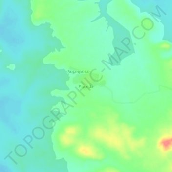
Name: Pipalda topographic map, elevation, terrain.
Location: Pipalda, Bhanpura Tahsil, Mandsaur, Madhya Pradesh, India (24.55326 75.63304 24.59326 75.67304)
Average elevation: 1,319 ft
Minimum elevation: 1,260 ft
Maximum elevation: 1,473 ft
Thank you for supporting this site ❤️
Make a donation
Make a donation
Gear up for your next adventure:
As an Amazon Associate, this site earns from qualifying purchases at no extra cost to you.