
El Almorzadero topographic map
Interactive map
Click on the map to display elevation.
About this map
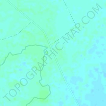
Name: El Almorzadero topographic map, elevation, terrain.
Location: El Almorzadero, Orocué, Casanare, Colombia (5.02592 -71.53936 5.04592 -71.51936)
Average elevation: 486 ft
Minimum elevation: 476 ft
Maximum elevation: 499 ft
Other topographic maps
Click on a map to view its topography, its elevation and its terrain.