
景山 topographic map
Interactive map
Click on the map to display elevation.
About this map
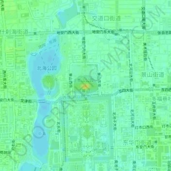
Name: 景山 topographic map, elevation, terrain.
Location: 景山, 西城区, 首都功能核心区, 北京市, 100032, 中国 (39.92348 116.39043 39.92358 116.39053)
Average elevation: 167 ft
Minimum elevation: 144 ft
Maximum elevation: 200 ft
Other topographic maps
Click on a map to view its topography, its elevation and its terrain.