
广安门内街道 topographic map
Interactive map
Click on the map to display elevation.
About this map
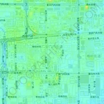
Name: 广安门内街道 topographic map, elevation, terrain.
Location: 广安门内街道, 西城区, 北京市, 100032, 中国 (39.88789 116.34295 39.89895 116.36820)
Average elevation: 171 ft
Minimum elevation: 151 ft
Maximum elevation: 203 ft
Other topographic maps
Click on a map to view its topography, its elevation and its terrain.