
Thank you for supporting this site ❤️
Make a donation
Make a donation
Gear up for your next adventure:
As an Amazon Associate, this site earns from qualifying purchases at no extra cost to you.
Yongchun topographic map
Click on the map to display elevation.
Thank you for supporting this site ❤️
Make a donation
Make a donation
Gear up for your next adventure:
As an Amazon Associate, this site earns from qualifying purchases at no extra cost to you.
About this map
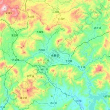
Name: Yongchun topographic map, elevation, terrain.
Location: Yongchun, Taocheng, Yongchun County, Quanzhou, Fujian, China (25.16420 118.12958 25.48420 118.44958)
Average elevation: 1,345 ft
Minimum elevation: 128 ft
Maximum elevation: 4,442 ft
Thank you for supporting this site ❤️
Make a donation
Make a donation
Gear up for your next adventure:
As an Amazon Associate, this site earns from qualifying purchases at no extra cost to you.