
Thank you for supporting this site ❤️
Make a donation
Make a donation
Gear up for your next adventure:
As an Amazon Associate, this site earns from qualifying purchases at no extra cost to you.
Ban Khao Rup Chang topographic map
Click on the map to display elevation.
Thank you for supporting this site ❤️
Make a donation
Make a donation
Gear up for your next adventure:
As an Amazon Associate, this site earns from qualifying purchases at no extra cost to you.
About this map
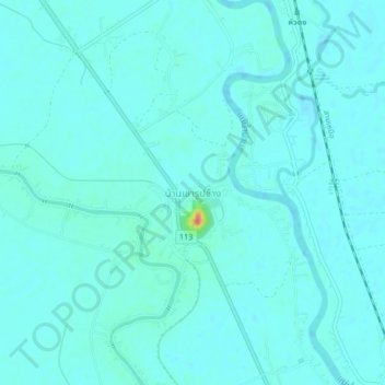
Name: Ban Khao Rup Chang topographic map, elevation, terrain.
Location: Ban Khao Rup Chang, Dong Pa Kham, Phichit Province, Thailand (16.30058 100.37182 16.34058 100.41182)
Average elevation: 115 ft
Minimum elevation: 95 ft
Maximum elevation: 262 ft
Thank you for supporting this site ❤️
Make a donation
Make a donation
Gear up for your next adventure:
As an Amazon Associate, this site earns from qualifying purchases at no extra cost to you.