
Thank you for supporting this site ❤️
Make a donation
Make a donation
Gear up for your next adventure:
As an Amazon Associate, this site earns from qualifying purchases at no extra cost to you.
Panpoli topographic map
Click on the map to display elevation.
Thank you for supporting this site ❤️
Make a donation
Make a donation
Gear up for your next adventure:
As an Amazon Associate, this site earns from qualifying purchases at no extra cost to you.
About this map
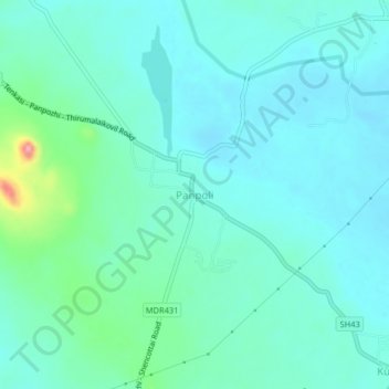
Name: Panpoli topographic map, elevation, terrain.
Location: Panpoli, Shenkottai, Tenkasi District, Tamil Nadu, 627807, India (9.00018 77.23295 9.04018 77.27295)
Average elevation: 650 ft
Minimum elevation: 581 ft
Maximum elevation: 974 ft
Thank you for supporting this site ❤️
Make a donation
Make a donation
Gear up for your next adventure:
As an Amazon Associate, this site earns from qualifying purchases at no extra cost to you.