
Endexhe topographic map
Click on the map to display elevation.
About this map
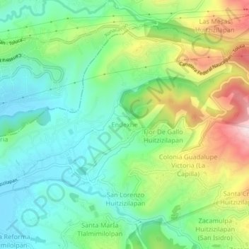
Name: Endexhe topographic map, elevation, terrain.
Location: Endexhe, Lerma, State of Mexico, 52050, Mexico (19.38885 -99.48624 19.42885 -99.44624)
Average elevation: 8,990 ft
Minimum elevation: 8,474 ft
Maximum elevation: 10,020 ft