
Thank you for supporting this site ❤️
Make a donation
Make a donation
Gear up for your next adventure:
As an Amazon Associate, this site earns from qualifying purchases at no extra cost to you.
Baradi topographic map
Click on the map to display elevation.
Thank you for supporting this site ❤️
Make a donation
Make a donation
Gear up for your next adventure:
As an Amazon Associate, this site earns from qualifying purchases at no extra cost to you.
About this map
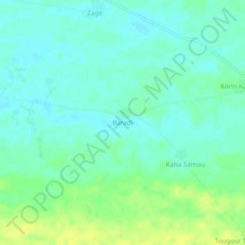
Name: Baradi topographic map, elevation, terrain.
Location: Baradi, Guidan-Roumdji, Maradi Region, Niger (13.59664 6.72903 13.63664 6.76903)
Average elevation: 1,083 ft
Minimum elevation: 1,056 ft
Maximum elevation: 1,122 ft
Thank you for supporting this site ❤️
Make a donation
Make a donation
Gear up for your next adventure:
As an Amazon Associate, this site earns from qualifying purchases at no extra cost to you.